When conducting a Landscape and Visual Impact Assessment (LVIA), an important tool in the process is the production of a Zone of Theoretical Visibility map, commonly abbreviated to ZTV. These maps are fundamental to the process of understanding how visible a proposed development may be within a given landscape and, in turn, the degree to which it may affect landscape character and visual amenity.
In this post, we will explore what a ZTV is, how it is produced, and, most importantly, why it matters — especially in the context of robust LVIA assessments.
What is a ZTV?
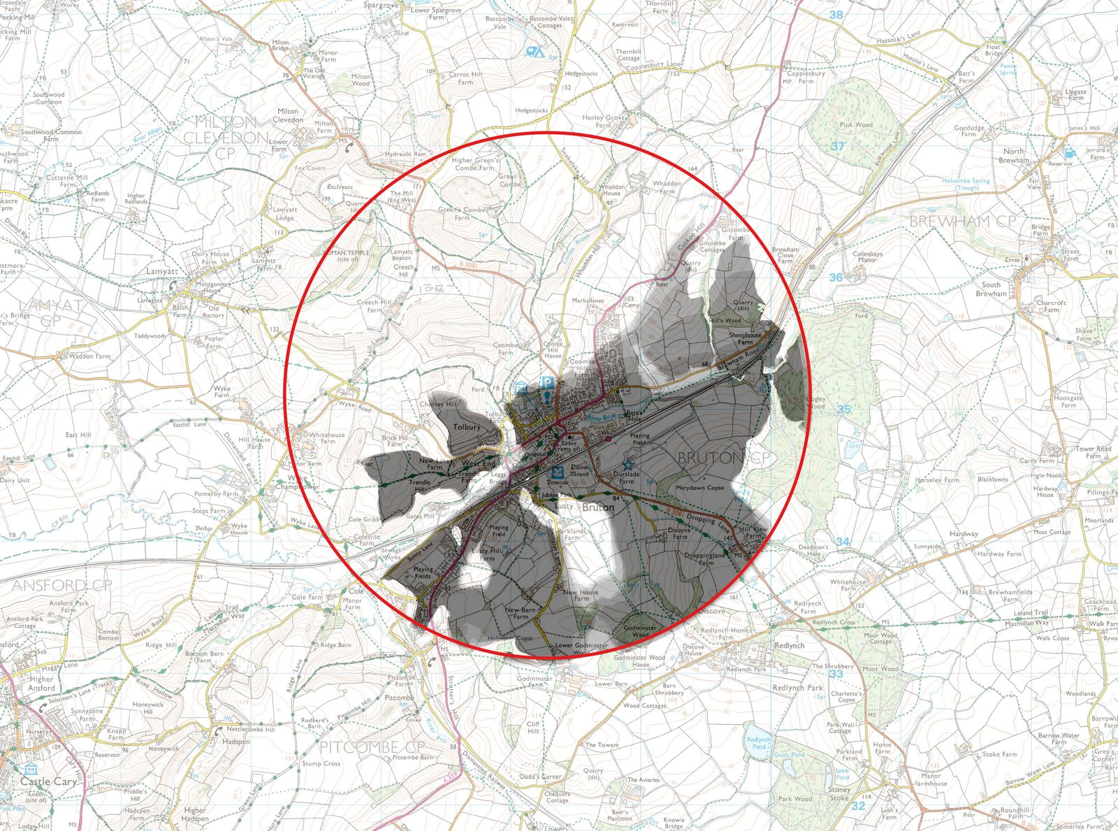
A Zone of Theoretical Visibility is a computer-generated map that illustrates the area from which a proposed development may be visible. The emphasis here is on theoretical. It does not account for all real-world variables — such as vegetation, buildings, or atmospheric conditions — but it offers a baseline model of visibility based on topography alone. In most cases, ZTVs are generated using digital terrain models (DTMs) or digital surface models (DSMs), which represent the elevation data of a site and its surroundings.
There are typically two types of ZTVs:
- Bare-earth ZTVs — based solely on topographical data and therefore presenting the maximum potential visibility.
- Surface-based ZTVs — which incorporate elements such as tree cover or buildings and tend to provide a more realistic representation of visibility in built or semi-natural landscapes.
It is important to note that a ZTV shows where a development could be seen from, not necessarily where it will be seen from. As such, it is used as a screening tool — a first step — to inform more detailed, field-based visual assessments.
How is a ZTV used in LVIA?
In any comprehensive LVIA report, a ZTV plays a central role in shaping the scope of the assessment. It helps determine:
- Viewpoint selection: By identifying potential receptors across a wide area, a ZTV allows landscape consultants to choose representative viewpoints for photomontages and analysis.
- Extent of visibility: Understanding whether a proposal will be visible only in its immediate surroundings or across a wider regional context is essential in determining its scale of impact.
- Stakeholder engagement: ZTVs are useful for communicating with planning officers, local communities, and statutory consultees such as Natural England or Historic England, particularly in relation to designated landscapes or heritage assets.
Moreover, in projects subject to Environmental Impact Assessment regulations, ZTVs are often mandatory components of the visual baseline and are included as appendices or figures in the Environmental Statement (ES).
The role of ZTVs in design evolution
Beyond assessment alone, ZTVs also have a valuable role in the design evolution process. By mapping zones of likely visibility, project teams can make informed choices about siting, orientation, scale, and screening measures at early stages — thus minimising harm to landscape character and visual receptors before a formal planning submission is made.
For example, relocating a structure just a few metres downhill or adjusting its height could significantly reduce its visibility in sensitive areas. This proactive approach often results in better design outcomes and smoother planning pathways.
Need help on a specific project?
If you are working on a development that requires landscape and visual evidence, we can help. Tell us about your site and we will respond with a fixed fee and programme within one working day.