By experienced, Chartered Landscape Architects. Specialist consultancy providing expert landscape and townscape planning advice across England, Scotland and Wales — grounded in clear understanding of planning policy, detailed knowledge of local character, and practical strategies for mitigating visual effects.
Tell us about your project. We respond within one working day.
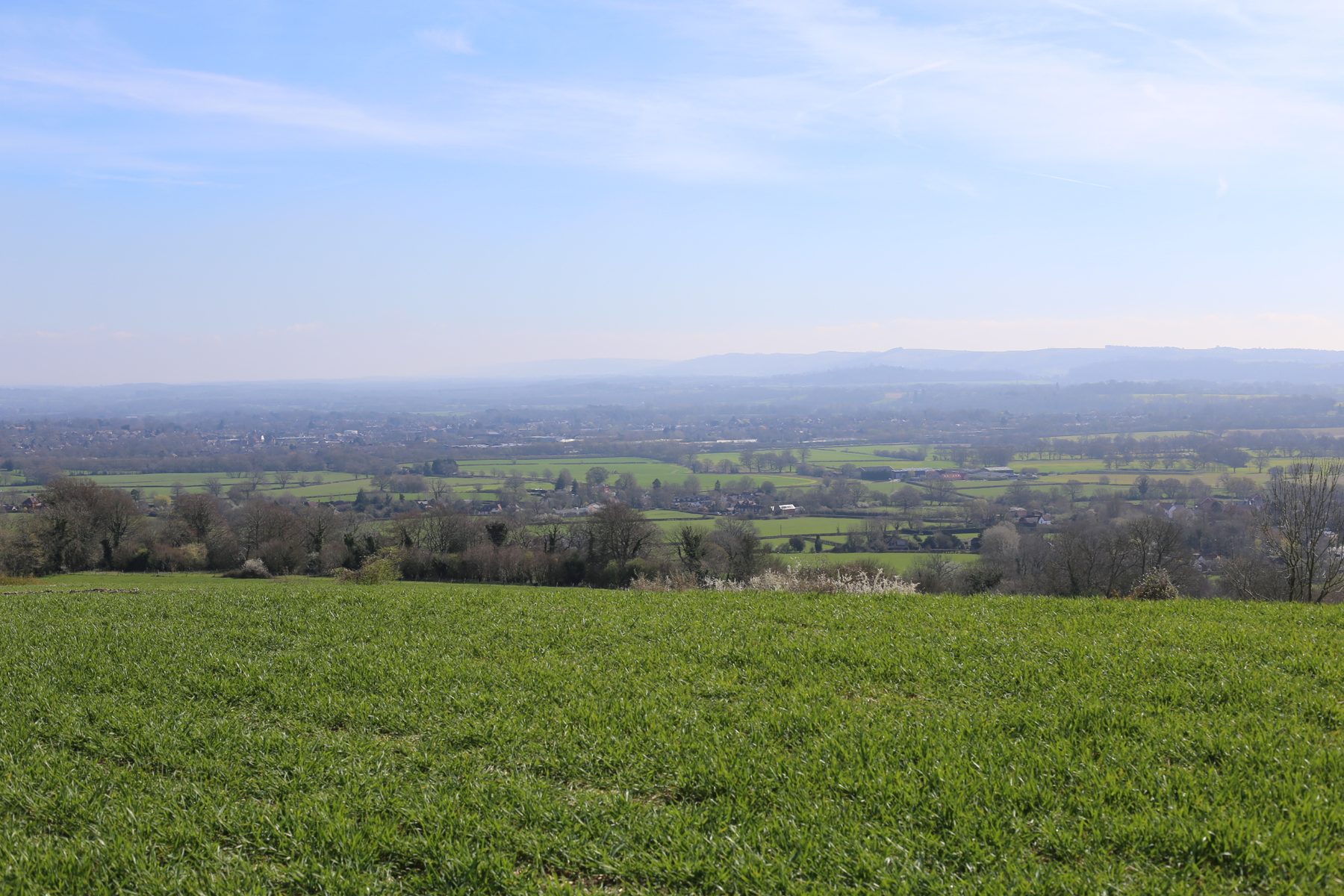
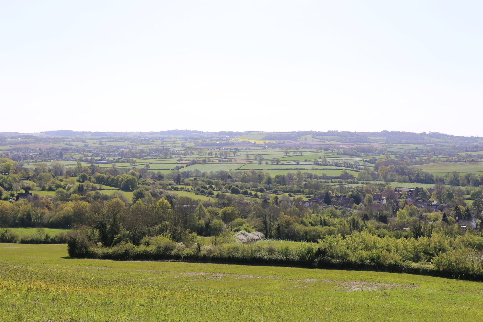
We are a specialist consultancy led by Chartered Landscape Architects, providing expert landscape and townscape planning advice across England, Scotland and Wales.
Our assessments are grounded in a clear understanding of planning policy, detailed knowledge of local character and context, and practical strategies for mitigating visual effects.
We specialise in Landscape and Visual Impact Assessments (LVIA) and Townscape and Visual Impact Appraisals (TVIA), helping clients address complex landscape and visual issues within the planning process.
As a small, focused team, we offer a friendly, responsive and tailored service built on professional integrity, technical accuracy, and extensive experience of how landscape matters are handled through the design and planning process.
More about usThree core areas of work: landscape and visual impact assessment, supporting landscape plans, and long-term landscape management plans.
A Landscape or Townscape and Visual Impact Assessment, typically required to support a planning application where landscape, townscape or visual sensitivities exist but an Environmental Impact Assessment is not triggered.
Over twenty years of LVIA, TVIA and landscape planning work has built us a wide and established client base — many of whom return to us project after project.
We specialise in landscape, townscape and visual analysis — that focus, and the depth of work behind every report, is the reason our clients come back to us.
Every assessment is led by a Chartered Landscape Architect (CMLI) with over twenty years of LVIA, TVIA and landscape planning experience. Years of practice handling complex landscape and visual issues — and a clear understanding of how planning decisions are taken — sit behind every report we deliver.
All of our assessments are prepared in full accordance with the Guidelines for Landscape and Visual Impact Assessment (GLVIA3, 3rd Edition), the recognised best-practice methodology for LVIA and TVIA work.
Our assessments are grounded in thorough baseline work. We take the time to research the policy context, read every relevant policy and application document, study the character assessments and supporting evidence, and visit each viewpoint — so we genuinely understand the landscape and visual issues before we form a judgement.
We don't just identify effects — we provide buildable mitigation strategies that strengthen your application and give planners a clear pathway to consent.
We work for developers, planning consultants, architects, parish councils, local planning authorities and private landowners. Our experience spans residential, agricultural, commercial, light industrial, renewable energy, holiday and townscape proposals — from single dwellings through to major EIA schemes.
What we quote is what you pay. We agree the scope before instruction and we work to a fixed fee for that scope — no hourly add-ons, no surprise charges. Standard programme is 15 working days.
Our LVIA and TVIA reports are written to the standard required by planning officers, inspectors, and third-party reviewers. Each one combines a robust baseline study, fieldwork-based assessment, and clearly reasoned judgements.
From single-dwelling householder applications through to major EIA schemes — we have direct experience of the planning context and landscape sensitivities that apply to each.
Working in or near a designated landscape? We have direct experience of the Chilterns, Cotswolds, Mendip Hills, Quantock Hills, North Wessex Downs, Cranborne Chase, Wye Valley, Malvern Hills, South Downs National Park, New Forest National Park and Exmoor National Park.
Every assessment we deliver follows this nine-stage GLVIA3-compliant process — scoping, baseline study, ZTV analysis, site visit, assessment of effects, cumulative impacts, mitigation, residual effects and final report.
Sets out the study area and likely key issues. Stakeholders and planning authorities may be consulted to define scope and agree viewpoints.
Landscape and visual baseline mapped — character, designations, key features, policies, and similar planning applications.
A ZTV model is developed showing where the development may be visible. Viewpoint locations are identified.
The site is visited to record land use, condition and features, and the viewpoints identified on the ZTV are captured.
Potential changes are predicted and judged for significance, based on magnitude of change and sensitivity of receptors.
Cumulative impacts arising from similar consented schemes within the study area are assessed where relevant.
Strategies to reduce negative impacts — such as mitigation planting and design measures — are developed.
After mitigation, the remaining impacts are assessed and reported.
The report compiles research and survey data, key conclusions, baseline, judgements, and recommended mitigation actions.
We work across England, Scotland and Wales from our three regional offices.
We have local knowledge of landscape character, planning policy, and appeal history across these and many other areas.
Tell us about your project and we will come back to you with a fixed fee and programme — within one working day.
We aim to respond within one working day.
Both an LVA (Landscape and Visual Appraisal) and an LVIA (Landscape and Visual Impact Assessment) aim to evaluate how a proposed development affects landscape character and visual amenity. The differences come down to scope, formality and use case.
Scope and formality — LVIA is the more comprehensive and formal of the two. It can be undertaken as part of an Environmental Impact Assessment (EIA) and in that context must assess the significance of landscape and visual effects, including types, duration and geographic extent. LVA is generally used for smaller or less complex projects, often as part of pre-application discussions. It is more informal and does not require a formal judgement of significance.
Typical use cases — LVIA is required for larger schemes with landscape and visual implications, especially those falling under EIA thresholds, and may accompany an Environmental Statement detailing effects across phases (construction, Year 1, Year 15) and cumulative scenarios. LVA is more suited to less sensitive contexts or preliminary stages, providing a baseline understanding of landscape sensitivity — useful at pre-application or plan-making stages when exploring locational or design considerations before a fixed scheme is developed.
Process and outputs — Both share common preparatory steps (desk studies, site visits, identification of receptors), but an LVIA — particularly for EIA — goes into far greater depth: assessments at specific stages, structured impact tables, cumulative and long-term analysis. The Landscape Institute's Technical Guidance Note (TGN 1/20) emphasises that "an LVIA must explicitly identify significant effects in compliance with EIA Regulation, whereas LVA does not require such a judgement."
In short — LVIA is the rigorous, structured assessment required especially for developments requiring EIA, explicitly evaluating significance and following detailed regulatory and methodological requirements. LVA is the lighter-touch equivalent, used in lower-impact or preliminary contexts, reporting on landscape and visual sensitivity without a formal significance judgement.