Recent work
A snapshot of what we deliver
From single sensitive sites in National Landscapes to major multi-phase EIA schemes.
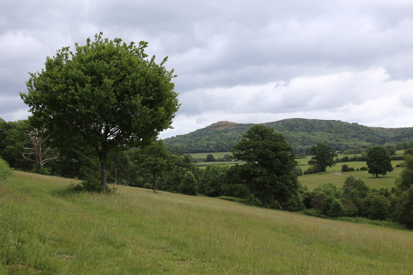
Malvern Hills
A comprehensive country-house refurbishment in the Malvern Hills National Landscape. Full LVIA covering baseline character, viewpoint photography from public rights of way, and an embedded mitigation strategy for its protected setting.
Find out more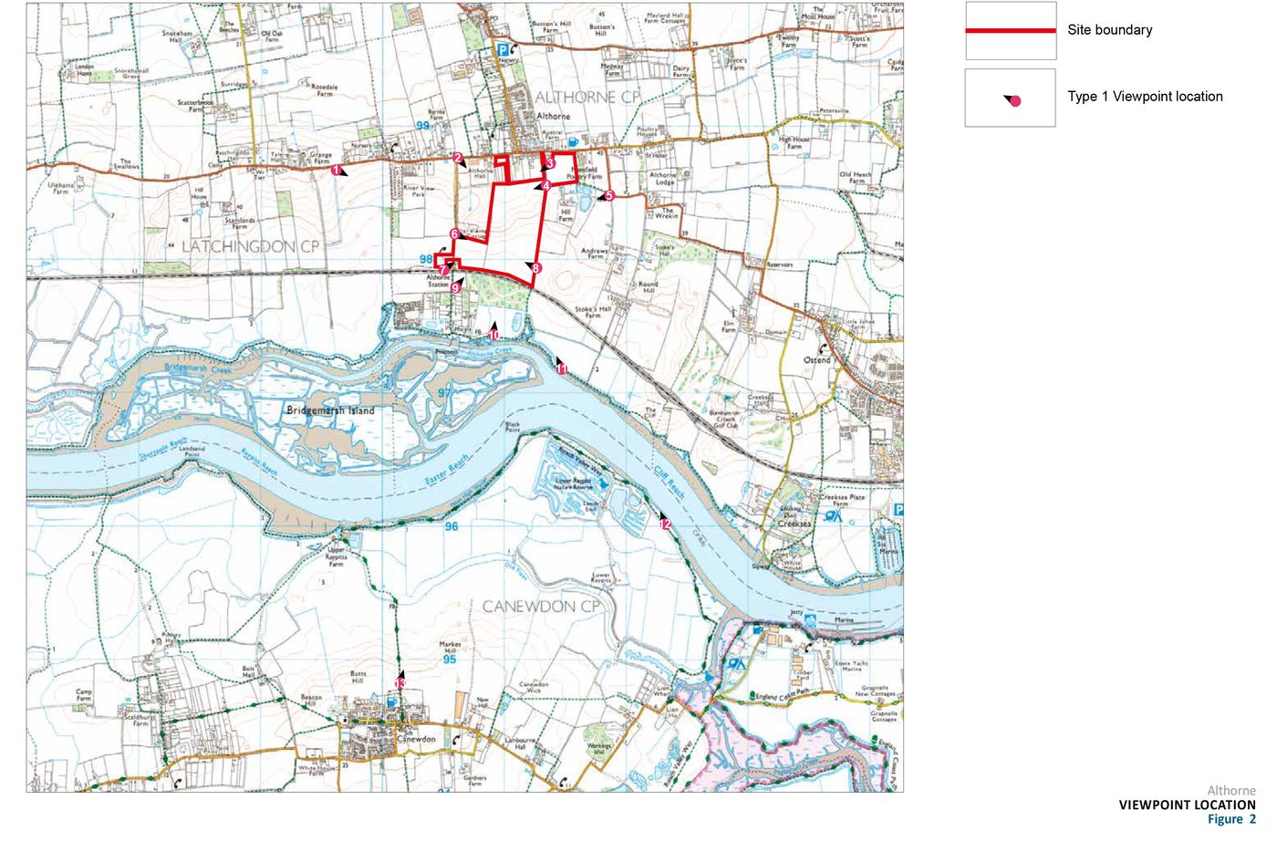
North-west Essex
A large multi-phase residential development on the rural fringe of north-west Essex. Full LVIA chapter covering construction, year-1 and year-15 conditions, cumulative impacts and a 15-year landscape mitigation strategy.
Find out more