The brief
We were commissioned to prepare a Landscape and Visual Impact Assessment for a single three-storey modular residential block on the southern part of a commuter car park at Blue Bell Hill, near Chatham. The block was to be fabricated off site, with parking, refuse and cycle stores and a shared amenity area. We later prepared the detailed landscape plan for the scheme.
The site sits within the Kent Downs National Landscape, so even a modest building needed to be tested carefully against the special qualities of the designation and the views from the North Downs Way national trail nearby.
The landscape and visual context
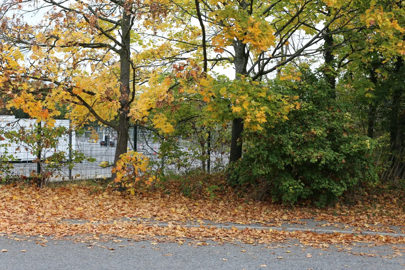
At around 164m AOD, the site lies on the northern edge of the Kent Downs, where the elevated chalk plateau of Blue Bell Hill drops towards the Medway Valley. It falls within NCA 119 North Downs and the Mid Kent Downs local character area. Unlike the open downland around it, the site is a surfaced car park inside a transport corridor bounded by the M2 and A229 slip roads, with little vegetation of its own. Belts of trees to the west, north and south give it a strong sense of enclosure.
The visual baseline was photographed in October and covered twelve viewpoints, from nearby roads, a local play area and Hallsfield Road to the public footpaths through Bridge Woods, Podkin Meadow and several points on the North Downs Way.
Our approach
We drew a clear distinction between the designation as a whole and the condition of this particular site. The assessment set out how far road infrastructure and hard surfacing had already compromised this corner of the National Landscape, and then tested whether a compact block could be absorbed without affecting the chalk downland character, the settlement pattern or the tranquil, valued landscapes nearby. For the visual assessment we concentrated on the high-sensitivity receptors — the North Downs Way, the Bridge Woods rights of way and Podkin Meadow — to check whether the woodland and landform really did contain the site from them.
Mitigation and design response
The landscape strategy retained the existing mature vegetation along the boundaries, with space left for its management, and introduced new native trees on the western and south-eastern boundaries together with shrub planting throughout the development. The aim was to turn a hard, functional car park into a planted residential setting that improved both ecological value and visual integration. The block's compact, efficient footprint was positioned to keep sight lines across the site. Our subsequent landscape plan set out the planting in detail.
The outcome
At the NCA 119 scale and in the Mid Kent Downs character area, landscape effects were assessed as neutral at both Year 1 and Year 10: the building stays within existing site boundaries, avoids encroaching on rural land and sits in a part of the landscape already shaped by infrastructure. At site level, replacing a car park with a planted residential scheme gave a slight beneficial effect from Year 1. Visually, only three of the twelve viewpoints offered any potential view of the development, and even those were seasonal or heavily filtered. From the North Downs Way, Bridge Woods and Podkin Meadow there would be no change at all. The assessment concluded that the scheme was an appropriate and sensitive intervention in a previously degraded corner of a protected landscape, with no harm to the designation or to public visual amenity. Planning permission was granted in January 2026.
Want to discuss your project?
If you are preparing a planning application that needs landscape and visual evidence — from a single dwelling to a major EIA scheme — we can help. Tell us about your site and we will respond with a fixed fee and programme within one working day.